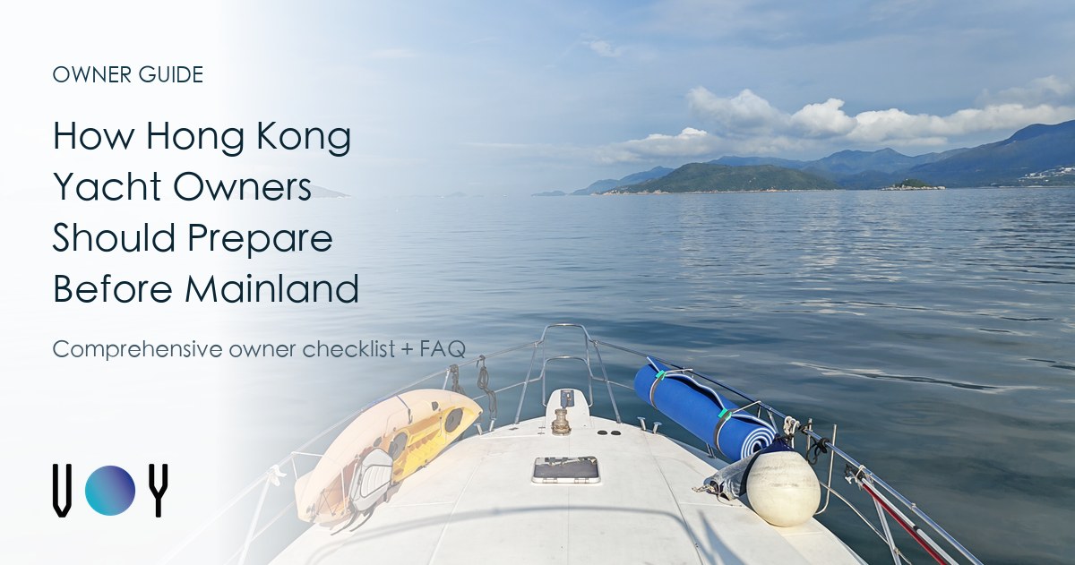

Must read for novices: Driving a yacht north for the first time? The logbook and coordinates of the “nanny-class” from Victoria Harbour to Guishan Island in Zhuhai are all included
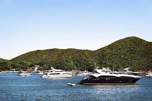
For Hong Kong ship owners, the first psychological hurdle for driving a ship “north” is often not a document, but a route. As the “Customs Clearance Port” (CIQ) for yachts entering the Greater Bay Area, Guishan Island is the closest to Hong Kong and has relatively stable sea conditions, making it the best maiden destination for novice captains to unlock mainland waters.
This article plans a classic route from Victoria Harbour to Guishan Island via the western waters of Hong Kong, with a total distance of about 20-25 nautical miles (depending on the departure point), suitable for yachts above 40 feet.
1. Route Overview and Waypoints
This route avoids the larger winds and waves off the southern coast, mainly sailing along the north side of Lantau Island, with less wind and waves, but you need to pay attention to the busy merchant ships on the Lung Kwu Waterway.
- Starting point: Victoria Harbour Central Sail west and cross the Stonecutters Bridge.
- Key Point A: Kap Shui Mun Coordinate reference: 22°20.6’N, 114°03.3’E Note: The current here is fast, and there are high-speed passenger ships entering and exiting, please keep driving on the right side of the channel and enter the waters north of Lantau Island after passing.
- Key point B: The Brothers Coordinate reference: 22°19.8’N, 113°58.2’E Passing under the Hong Kong connection of the Hong Kong-Zhuhai-Macao Bridge, you can enjoy the magnificent scenery of the bridge up close, which is suitable for checking in.
- Key Point C: Lung Kwu Chau – Exit border Coordinate reference: 22°22.8’N, 113°52.6’E This is the last landmark in Hong Kong’s waters. After sailing out, they will enter the Mainland waters and must fly the yellow flag (Q flag) to prepare for entry.
- End point: Zhuhai Guishan Island Passenger Terminal (CIQ). Coordinate reference: 22°08.2’N, 113°48.8’E After arrival, you need to stop at the designated berth for joint inspection procedures.
*Note: The above coordinates are for planning reference only, please rely on the ship’s charts and real-time sea conditions for actual navigation.
2. Sailing time estimate
Knowing the sailing time can help you book a clearance slot (usually 24 hours in advance).
| Vessel type and speed | Estimated time (one-way). | Driving advice |
|---|---|---|
| Leisure Western-style yacht (Cruising). Speed 10 – 12 save | 2.5 – 3 hours | Enjoy the scenery along the way, and be aware of crosswinds when crossing the bridge. |
| Water skiing/luxury yacht (Planing). Speed 20 – 25 saving | 1.2 – 1.5 hours | Thereare many cargo ships on the Longgu Waterway, and you need to maintain a high lookout when driving at high speed. |
3. Suggestions for passing through islands and sheltered areas
Novice sailing is most afraid of sudden weather or mechanical failure. The advantage of this route is that there are many natural barriers along the way:
- Ma Wan: Before passing through the Tsing Ma Bridge, if any abnormalities are found in the machinery, you can choose to temporarily inspect at the Ma Wan Typhoon Shelter or nearby safe waters.
- Sha Chau & Lung Kwu Chau: Located at the back of the voyage, it is the last barrier before entering the Pearl River Estuary. In case of sudden thunderstorms, you can take shelter here on the leeward side and cross the border when visibility improves.
- Niutou Island: When approaching Guishan Island, Niutou Island to the north has a breakwater, which is a buffer zone before entering Guishan Port.
Want to go north but afraid of “solo sailing”? Join the owner group and play together!
Reading the chart a thousand times, it is better to bring it with a veteran. Voy.hk The “Greater Bay Area Boat Owner Self-Driving Exchange Group” was established to bring together captains who have successfully sailed north and novices who are preparing to depart.
Share within the group: ✅ The latest changes ✅ in Guishan Island’s customs clearance policy Real-time maritime road conditions and fishing net black spot tips ✅ Weekend group cruise (Flotilla) activity
Don’t let the yacht stop at the typhoon shelter only!
Join the WhatsApp group now to get detailed route map PDFs and more northbound guides.
Join the Voy.hk Boat Owners group